Labels

holiday (104) overseas (101) australia (97) victoria (90) 4wd (83) friends (56) europe (53) food (49) history (48) camping (46) river (45) southeast asia (44) sculpture (34) church (29) bird (28) temple (26) market (25) angkor wat (20) restaurant (19) train (19) lake (18) art (17) drink (17) high country (17) vietnam (17) wildlife (17) castle (15) fountain (15) hiking (15) France (14) Italy (14) Roman (14) boat (14) united kingdom (14) bridge (13) flower (13) monk (12) queensland (12) waterfall (12) England (11) cat (11) fishing (11) mine (11) roadtrip (11) ruin (11) culture (10) dog (10) palace (10) snow (10) burma (9) cave (9) garden (9) laos (9) medieval (9) music (9) cambodia (8) lizard (8) london (8) mountain (8) myanmar (8) New Zealand (7) North Island (7) alpine national park (7) buddha (7) busker (7) desert (7) goat (7) handcrafts (7) mallee (7) museum (7) snake (7) toolangi state forest (7) water buffalo (7) Germany (6) Uzes (6) huts (6) owl (6) Austria (5) Bavaria (5) Garmisch (5) Rome (5) Switzerland (5) big river state forest (5) children (5) plane (5) sunset (5) war (5) Barcelona (4) Florence (4) Lake Como (4) Paris (4) Salzburg (4) Spain (4) aboriginal (4) art gallery (4) cathedral ranges (4) craigs hut (4) duck (4) ha long bay (4) harry potter (4) horse (4) mekong (4) nsw (4) tudor (4) tunnel (4) volcano (4) wallaby (4) Annecy (3) Carcassone (3) Edinburgh (3) Ludwig (3) Maori (3) Montmartre (3) Scotland (3) Sound of Music (3) Sun King (3) Taupo (3) Venice (3) beach (3) bunyip state forest (3) elephant (3) furnicular (3) geocaching (3) geyser (3) goulburn river (3) inle lake (3) kangaroo (3) luang prabang (3) mitchell river (3) mt terrible (3) murrindindi state forest (3) otways (3) pig (3) relic (3) saigon (3) sheep (3) thailand (3) vientiane (3) wombat (3) wombat state forest (3) yangon (3) Bath (2) Bay of Islands (2) Cotswolds (2) Grindelwald (2) Ta Prom (2) Warrumbungles (2) amelie (2) cairns (2) carnavon gorge (2) cow (2) crooked river (2) dance (2) eagle (2) eildon state forest (2) enoch point (2) fish (2) flowers (2) goanna (2) ha noi (2) ho chi minh (2) hue (2) jamieson river (2) latrobe river (2) macaron (2) marysville (2) monkey (2) pakse (2) puppet (2) snowy river (2) upper yarra reservoir (2) warburton state forest (2) Auckland (1) Banteay Kdei (1) Baphuon (1) Bayon (1) Cambridge (1) Canterbury (1) Eastern Mebon (1) Hobbiton (1) Liechtenstein (1) Louis (1) Mt Ruapehu (1) Phimeanakas (1) Pre Rup (1) Preah Khan (1) Rotorua (1) Tonle Sap (1) Vatican (1) Waitangi (1) airshow (1) architecture (1) bagan (1) bangalore (1) bangkok (1) barrier reef (1) bear (1) beechworth (1) burger (1) cabaret (1) cat ba island (1) cattle (1) cemetery (1) coffee (1) craft (1) dingo (1) echidna (1) emu (1) festival (1) frog (1) gliders (1) glow worm (1) gold (1) grampians (1) gypsy (1) hoi an (1) india (1) jet boat (1) king river (1) kinglake (1) koala (1) leeches (1) linga (1) mandalay (1) marble (1) massage (1) mekong delta (1) military (1) mossman gorge (1) mynamar (1) mysore (1) ninh binh (1) nun (1) ocean (1) possum (1) purple citadel (1) rainforest (1) rangoon (1) rubber (1) rubicon state forest (1) scam (1) scone (1) sheepyard flats (1) siem reap (1) tiger (1) werribee gorge (1)

Wednesday, 1 January 2003

La Trobe River revisited

I wanted to revisit this area and follow the trip notes in the book, so I packed up my two sons and headed off on New Years Day.  Again there was nobody else camping in the whole forest, and we only came across the odd car and trail bike rider.
We travelled in from Neerim South, and saw some Jersey cows which we stopped to feed.  We continued along the trip notes, and found a nice little camp site on H-Tree Extension, though the river that flowed through nearby hadn't seen water for quite some time.


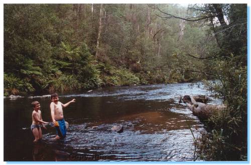
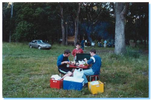
We soon arrived at the campsite near Hawthorn Bridge that I discovered on the previous trip, and setup camp while the kids enjoyed a swim in the river.  There were a few March Flies around, one of which chased James and Liam in circles around the picnic table, but they soon disappeared as the evening became cooler.
We cooked and ate our dinner, and settled down to play some games when it started to drizzle, so we moved into the tent as the rain started.

The next day we explored around a little, before packing up and heading off to explore wider.  We crossed Hawthorn Bridge, and headed North into Noojee State Forest along a track unnamed on my map.  We explored a side track that came back down near the north shore of the La Trobe, but the track was overgrown and became impassable near the bottom, so we backtracked and continued along the ridge.  A number of side tracks which according to the map went back down to Hawthorn Creek Road could not be found, so we continued on until we reached Suckling Road, which took us down through some rutted track to Hawthorn Creek Road which I planned to follow out.  Surprisingly, the bridge was out so after a review of the maps, we drove back up Suckling Creek Road a short distance, taking the first track on the right which we followed up the ridge to Vesper Road, and onto Mount Baw Baw Tourist Road.

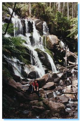
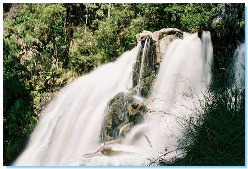
We then drove up to Toorongo Falls, which were flowing well with the help of the rain overnight.  After our walk to the falls, we drove up Fawcett Track, which was overgrown at some points but came out on some really nice clear tracks which took us down to Loch Valley Road, which we followed on out to Noojee and home.

Aussie Trips 2003

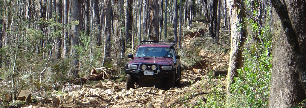
Rocky track, Toolangi
Another great year exploring around Victoria, including heading from the far North West to the Far North East over a two week period. Travelling on the desert sands of Wyperfeld one week, then amongst the snow of the High Country the next was unforgettable.

Monday, 16 December 2002

La Trobe River State Forest

The first trip intended to follow the set route in the reverse order.  Willowgrove Road is a beautiful windy drive through the forest, but we had a bit of trouble finding the Kings Rd turnoff, driving right past it for some distance before returning and using the GPS to locate it.  Kings Road brought us down to Hawthorn Bridge, reportedly closed but it seemed in OK condition and didn't collapse on us.  There was a really clean and new toilet built here and lots of possible camp sites, so we setup camp and tried some fishing before cooking a succulent chicken in the camp oven and relaxing around the fire.
Later in the evening as we were enjoying the quite and solitude, we could see two possums climbing out on a tree branch silhouetted against the moonlight sky high overhead.  It seemed strange for them to be climbing along the dead branch towards the edge, until one after the other they leaped off the branch into the air, spread their legs wide and floated down onto the trunk of another tree.  What a fantastic sight, our first observation of gliders in the bush.
Still later, we were startled as they one after the other crashed into the trunk of a tree just beside where we were sitting.  We were able to get a very good look at them and identified them as Greater Gliders, but I couldn't get the camera from the car before they had climbed up into the trees.
The next day we drove out along La Trobe River Road, finding another great campsite only accessible by 4WD.  I took a wrong turn missing H Tree Extension Road so we gave up on the planned route and just drove along, ending up on the Old Sale Road, and doing some 4WDing along Webbs Road along the back of farmland, eventually arriving into Neerim South via McDougals Rd.

Sunday, 1 December 2002

Rubicon Range Rover Club Trip

Saturday 30th November

Participants:

Russell
Mark L
Mark F & James

Morning Tea at Dudley Saddle
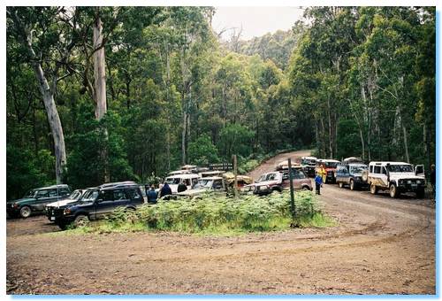
We all met at Marysville around 9:00 on a cool misty Melbourne morning.  After the run down from John on the plan and convey procedure, we were all soon off in convoy down the Marysville Woods Point Road to our first destination at Cambarville.  We did a quick drive around the loop here with commentary from John and continued on down Big River Road into Big River State Forest.  We made one wrong turn, but were soon at Weather Range Junction on Dudley Saddle for our morning tea stop.  I parked my car in the middle of the junction; one wheel off the dirt a little on some grass which seemed to attract a scornful look from another trip participant...  It was latter observed that this person had no compunctions in picking various flowers and leaves along our journeys, eventually laying to waste great tracts of once gorgeous bush, leaving nothing but smouldering stumps and scorched earth... Ok, slight exageration.

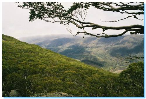
View when climbing Mt Torbrek
After some otherwise friendly chatting we were off again up Cold Weather Road, across Winch Hill and down Snobs Creek Road until we reached a deforested area.  From here we drove up Conn Gap Road, and then the slightly steeper, wetter and rockier Barnewall Plains Road.  We parked the cars on the plains near a treed picnic area, and a number of us made the climb up Mt Torbrek.

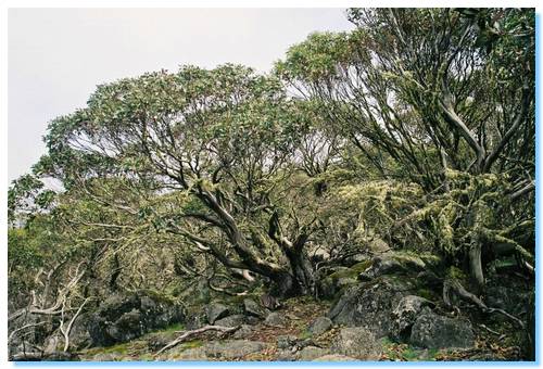
Trees on summit of Mt Torbrek
The view from the top of Mt Torbrek was fairly well obstructed by Alpine Gums, but there was a stone cairn which could be climbed to improve the views.

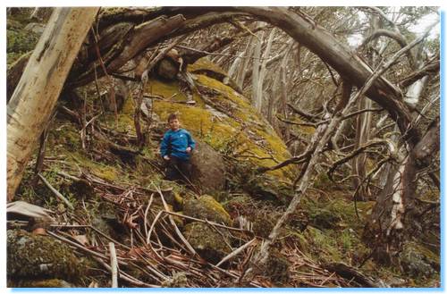
James amongst the boulders on Mt Torbrek
James did an excellent job climbing the mountain, and his Digimon even made it up and back to tell the tale.  On the trip back down some others managed to spot a snake, but it had slithered off before we had the chance to see it.
We returned to where we had parked the cars for a lunch break and some more chatting with our friendly trip participants.  Mark managed to find somebody from South America to practice his Spanish on!

Snobs Creek Falls
We backtracked onto Snobs Creek Road and stopped to see Snobs Creek Falls, which were flowing very well thanks to the recent rains we had had.

View from Morris Lookout towards Eildon
Backtracking again, we ascended Herbs Road past some girls bushwalking and drove up to Morris Lookout, which had views over to Eildon Dam and Pondage.  We relaxed here a bit and had our afternoon tea.  It wasn't at 4:00 though, according to my English friends....

How are those Chicken Fajitas coming along????
We continued on down Herbs Road into Rubicon, and then onto our Campsite at Kendall's A.  The grass was quite long, which didn't agree with my hay fever but it was a lovely spacious campsite that we could all spread out in quite nicely.
The tent was soon set up, and after a quick game with the Frisbee it was time to start cooking dinner.

Sunday 1st December 2002

Old boiler at Clarke & Pierce #4 Mill
We awoke early to the most magnificent cacophony of birds, ate breakfast, packed up camp and were soon on the road again.  Today was power station day...
We stopped off at Rubicon Power Station where we could see a Pelton Wheel on display, and the generators inside the station.  Water was diverted from various dams down aqueducts and pipe lines into the station to generate electricity for Eildon and the surrounding area.
We drove up Royston River Road to Royston Dam where the aqueduct starts from below the dam wall.
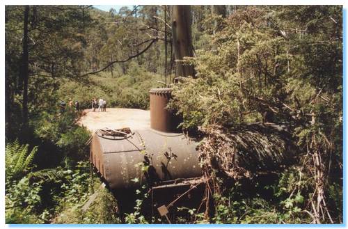
We then continued up to Clarke Pierce # 4 Mill site, where we spotted an old boiler and a huge sawdust mound.  We had lunch here on the banks of the Royston River before continuing on.

Parked on the road looking at ANOTHER powerstation
View from the siphon across the trestle bridge
We backtracked to Rubicon River Road and visited another power station, visible from the road.  Various tramways and aqueducts could also be seen that service the station.  We continued down the road past a siphon, where the aqueduct ran through a tunnel which dropped down 5 or so metres to pass under a creek bed, and then came gushing up on the other side.  A rickety old trestle bridge carried the tramway across the creek bed, and we drove on down and under the bridge.
Continuing on down the road took as past Rubicon Falls, and yet another Power Station.  A little further on down the road and we were back at our first Power Station, completing the circuit.  We finished the Power Station tours with a quick trip down to another power station, and then to the switching stations, where one of our group managed to get himself bogged in the gutter on the roadside.

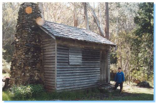
James exploring Keppel Hut
We then drove up Blue Range Road which has beautiful views into the valley and across the Cathedral.  We continued along MacFadyen Track to Keppel Hut for afternoon tea.  I'm pretty sure we missed the 4 o'clock deadline again today.
From here we made our way down onto Lady Talbot Drive, and back into Marysville and onto home.

Sunday, 24 November 2002

Nathan's Bucks Weekend

Saturday


The day of the Bucks Night came along quickly, and we met at Nathan's Parents ready to make our way.  Once all had arrived, and a huge array of gear was loaded onto each truck we were off through Wandin, Warburton and up the Reefton Spur to Cumberland Junction where the route followed was the same as the previous weekend track test.
There was a recovery required at the start of Gum Top Trail, where the track was wet and rutted, but we all made it without incident to the lunch stop at Toponga River.


From the river crossing, we continued along the same planned tracks up to Mt Terrible, enjoying the scenery, the company and the at times hilarious radio banter.  Again the view from Mt Terrible was fantastic, and the weather was superb.
My Patrol for some reason found the climb to Mt Terrible on this trip and bit arduous, and was quite overheated.  Not quite sure why this happened, and I haven't had a problem previously or since with overheating.


We were soon on our way again, where Darren tried the old road down from the peak, along with Nathan who met up with the rest of us on Knockwood Track.  We made good time to the campsite, where we all started setting up tents, and enjoyed a bit of fishing and a swim before settling down around the campfire for some good yarns, a disgusted look through the pornos Clint brought, and dinner.
After dinner, a few of us went out on a night 4WD trip, across the Goulburn and up Holy Land Track which was quite steep and fun in the dark and along Snake Edwards Road to a side track which led to a helipad.  This was absolutely magnificent being on the top of the peak, with not a light in sight just looking up at the perfectly clear night at the stars.  A few satellites were also seen, as well as the odd shooting star.

Sunday

We cooked up an absolutely huge mess of bacon and eggs, packed up camp and continued on with day 2.  I'd plotted out a possible route for the second day, but time had not allowed us to test out the tracks or how long they would take.  We headed out the same way we had the night before up to Snake Edwards Road.  This really was a road, and didn't give us any real opportunities to enjoy 4WDing.  We eventually came out on the Heyfield Jamieson Road, which we followed across the top of Mt Skene.  We came to a side track, which led us through an enchanted forest of snow gums where the track soon started to descend quite steeply and through a number of very sharp and edge of your seat switchbacks took us down to Rumpff Saddle.  This was the Barkley River Jeep Track and I loved it, even though it was a bit on the scratchy side towards the bottom.  We all caught our breath for a while then drove along the Alpine Walking Track past the Gorge and up to Mt Sunday.  This track was generally a very good track, with some good steep ascents and descents, but the travelling was a lot slower than anticipated and had a few quite scratchy sections.  We came out of a particularly scratchy bit of track onto the Mount Sunday Road, which was a very good quality road which enabled us to pick up a bit of speed, tough the spoon drains where quite severe and caught me by surprise.
We came to a side track near Wrens Flat, which on the map indicated that it went down to Brissces Hut.  We drove down to check it out.  The track down appeared unused for quite some time, and was overgrown with grasses towards the end,  There was a tight switchback with some deep ruts halfway along too, which caused me some grief on the way back out requiring some winching to get through.

Though the hut was in ruins, there was a small walking track through the scrub which brought us out to a magic gorge on the Jamieson River, which we all sat down and enjoyed after recovering from the Mt Sunday leg of our trip.
The original plan had been to travel up Mitchell's Road past the Homestead site and Slate Mine and then down into Mansfield.  The Mt Sunday leg had added much to our time, so we drove out from Wrens Flat back to the Heyfield Jamieson Road, and a very long haul into Granny's Flat via the steeper access track.
From Granny's Flat, we crossed the Jamieson River, and found ourselves on a great 4WD track that wasn't on any of the maps we had.  This had some good little steep sections of road, and would be very challenging after rain.
Looking for the quickest way home at this point we made our way through a farmers gate and into Jamieson and then Mansfield for dinner and then the long stretch back home.


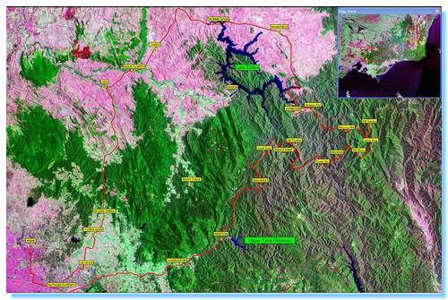
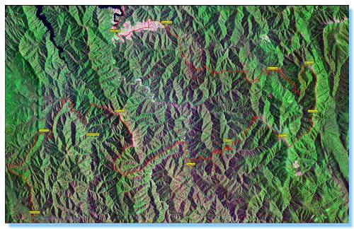
This is a satellite image of how much of Victoria we covered on this weekend...


And here is a close up view

Sunday, 17 November 2002

Reconnaissance Trip for Nathan's bucks Weekend

Nathan, Dana: Landcruiser
Mark, Michelle, Liam: Patrol


As part of the planning for the 4WD Trip for Nathan's Party, Nathan, Dana, Michelle and myself drove out day one of the trip to make sure the timing would work out OK, and that the tracks would not be too difficult.
As we were coming from different directions, we arranged to meet at Cumberland Junction, at the top of Reefton Spur.  We continued down Big River Road to Stockman's Reward, and then turned up Vans Road, and the wet and rutty Gum Top Trail.  This track climbed into drier forest and joined up with Rough Hill Road, which travelled up and over Rough Hill.  We continued onto Bull Range, and down to our lunch stop on the Taponga River.
From the shallow river crossing we turned right into Second Creek Track and we then followed Dray Track down to the Jamieson-Eildon Road and onto Big River Road.  We followed this towards Enoch Point, before turning up Danes Spur Track, which had some loose rocks and slightly steep sections.  This brought us to Newman's Track which took us up to Mt Terrible.  This was the first time Michelle & I had been to Mt Terrible, and the view was fantastic.
From Mt Terrible we headed on down along Mt Terrible Track, and then along Knockwood Track.  All tracks were easy 4WDing though scenic bushland.  The track came out across Gaffneys Creek at Knockwood where we crossed the Mansfield - Woodspoint Road and went along Army Track and Lazarini Spur.  We had to use the chainsaw to clear a fallen tree from the track near the proposed campsite, which was completely empty.
Nathan was happy with the proposed route, the timing of the stops and the likely arrival at the campsite so it was all agreed for next weekend and we made our way home.  On the home trip, Nathan ran over a snake, which by the time I was able to stop was under the front of the car.  I reversed back, but we were unable to see it anywhere.  A full inspection of the engine and undercar at Knockwood gave us a reasonable degree of comfort that it didn't slither up into the engine bay, but must have disappeared off into the bush somewhere.

Monday, 4 November 2002

Alpine National Park

Henric:     Pathfinder
Mark:        Patrol

Saturday 2nd November 2002
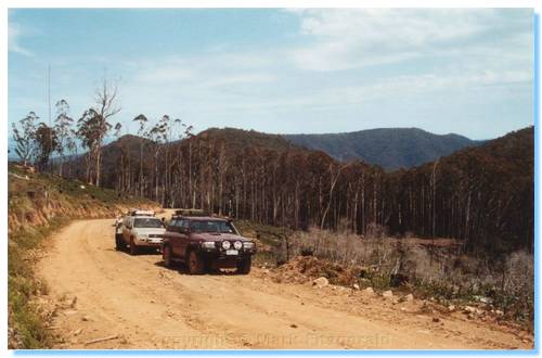

Well I just have to say that this was an absolute magic long weekend.  We did some exploring along some fantastic parts of the Victorian High Country which I had only previously heard about, but of course there is so much more to see so I look forward to many more trips into this magnificent area of Victoria.
Henric and I made off early on Saturday morning towards Mansfield.  At Mansfield we stopped for some last minute supplies in an extremely busy town.  Cup Weekend is the Mansfield Cup weekend as well, and judging by the throngs of people and seas of cars, it is very popular.  Out of Mansfield we drove up Buttercup Rd which follows Buttercup Creek and had a number of nice campsites which didn't appear to see too much use.

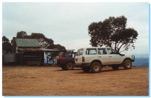
From Buttercup Road onto Carters Road, and we passed through some recently logged areas as we continued our climb.  We drove past Tomahawk Gap, for some reason missing Tomahawk Hut so I'll just have to travel up that way again.  We drove along No. 3 Road, which had some very nice views across the high country, and explored Mount No. 3 Hut, complete with timber rocking chair.  We continued along the Razorback to Circuit Road, and then travelled down the valley along King Basin Road to our lunch location at Pineapple Flat.

This is a very nice campsite on the King River, and was also very popular.  We stopped on a little side track near the river and spent about half an our trying to open the back of my car because the picnic table had jammed against the door lever on the inside.  Somehow we managed to get a contrivance of ockie straps and rope around the cargo barrier and shelving units to hook onto the picnic table and pull it through 90 degrees away from the door handle!  A quick fish also proved more complicated with my reel turning belly up, so a thorough cleaning of the reel got it back into working order.  The fishing was nonetheless futile, so we packed up and drove along King Basin Road as it followed and crossed the King River a number of times until we reached King Hut.  This also was a very popular camping area.
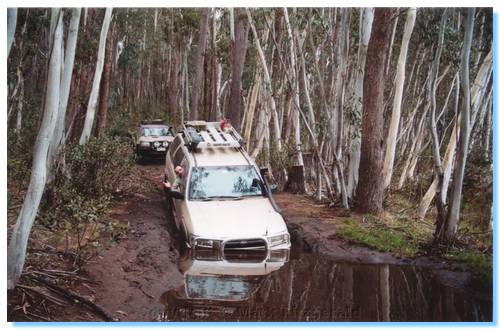

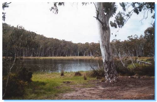
From here we ascended the Staircase, a very rocky piece of road, which the Pathfinder danced up with at least 2 wheels on the ground at any one time.  We drove down into Lake Cobbler which we explored around as far as we could looking for the best campsite, before settling down on the lakeside not far from the hut.
There were a few other people camping here, but it certainly wasn't crowded.  I tried fishing again, but didn't see any sign of any fish.

As it was a total fire ban, we sat in the cold and ate cold chicken.  It was soon raining, so we sheltered in the car until it cleared again.  There was no chance of a fire getting out of control today.

Sunday 3rd November 2002

Packing up camp, there was little sign of the thunderstorm that had passed through the night before.  Driving down from the Cobbler Plateau, we had a fantastic view of Dandongadale Falls, which I believe are the longest falls in Victoria with a 255 metre drop.
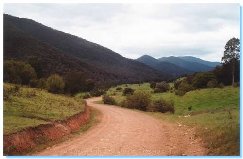
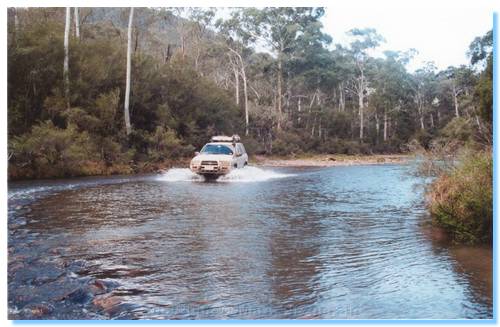
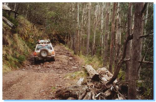
We drove along  Abbeyard Road down McIvers Spur to McIvers Picnic Ground, where a quick fish of the Buffalo River also was fishless.  We followed the Buffalo River upstream through lovely green valleys with cattle grazing and then turned back onto some 4WDing up Razor Track.  Razor Track followed the ridge for some distance before descending through some steep sections and across a couple of ferny creek crossings.
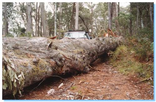
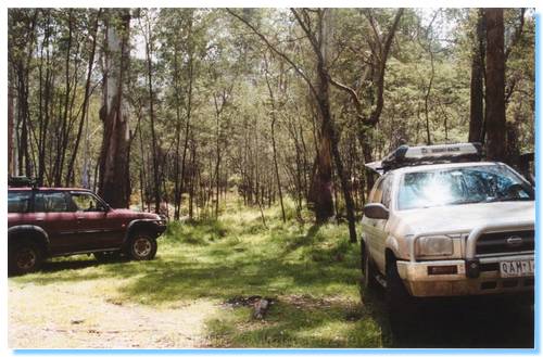
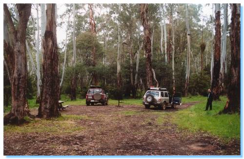
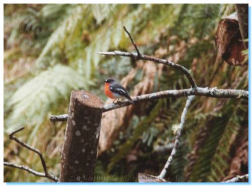
At the junction of Razor Track and Harry Shepherds Track we stopped for lunch beneath tall trees and verdant grassy undergrowth with King Parrots alluding the camera.
We climbed Harry Shepherds Track, and made a wrong turn down the Alpine Walking Track.  We soon realised our error, and backtracked onto Van Dammes Track, and then made our way down into Wonnangatta Valley.
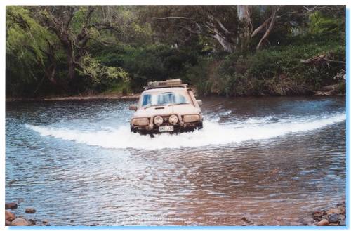

The Valley is certainly a very popular location, with many people camping along the river and across the flats.  We explored the homestead site and cemetery, and continued on through the valley before climbing out on Cynthia Range Track.  We followed this track which had been recently regraded, past Mt Cynthia and down Eaglevale Track into our campsite on the banks of the Wonnangatta.  Henric went off in search of firewood, while I tried again in vain to catch a fish.
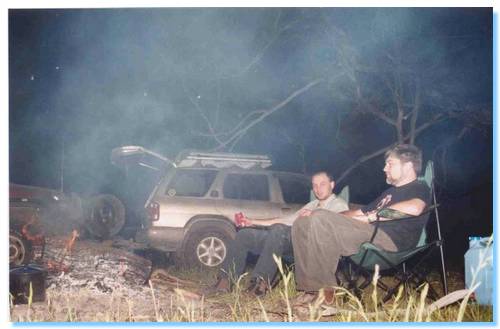

Henric was soon returning with a good sized log chained behind his car, which with the help of his chainsaw, gave us enough wood for the night, and our nearby campers wood for the next day.  After a top BBQ dinner, and some chatting with the family camped adjacent it was time to call it a night when I heard some large animal rustling in some tall bushes near the campsite.  Some nervous exploring with the torch unearthed nothing, so a hasty retreat was called for.

Monday 4th November 2002
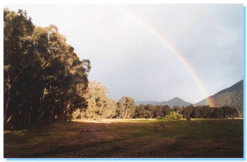


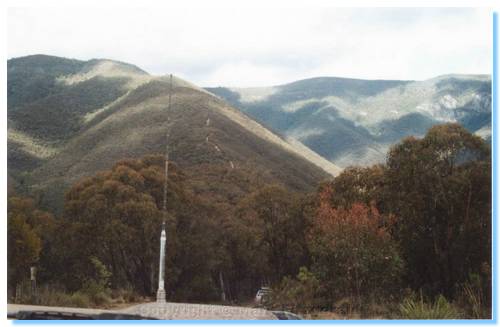
Bacon & Eggs for breakfast, packed up the tents and we were off.  We continued along Wonnangatta Road until we reached the famous Billy Goat Bluff Track.  I really enjoyed climbing this track, which had some steep sections which often saw the Pathfinder with a wheel left high in the air.  There was one section where the track ran across a rocky escarpment where I would have loved to have taken a photo, but there was a little too much traffic that day.  We continued to the top of Billy Goat Bluff, and visited the fire lookout at the Pinnacles with some light snow falling.

From the Pinnacles we drove along Moroka Road and stopped to visit MacFarlane Hut.  We walked some distance along the walking track but never found it.  is it still there?  I think the track went all the way to Lake Tarli Karng.  Back into the warmth of the cars as the snow was starting to get heavier and we continued on through Arbuckle Junction and along Howitt Plains where the snow was quite heavy and the countryside was covered in white.
We stopped for lunch in the shelter of Howitt Hut, where Henric cooked some mighty tasty lamb kebabs.
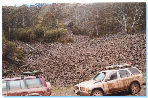
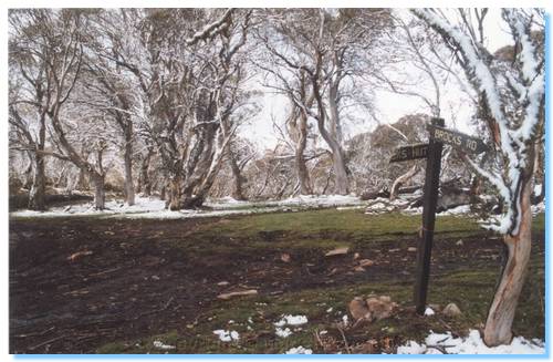
We passed Zeka Spur Track, which I must try out on another trip, and made our way down King Billy Track.  This was a visually amazing track, descending down past huge rockslides which I'd love to know the history of.  Into and through the valley, we were soon climbing the slopes of King Billy, and came to the junction with Brocks Road.  

The snow had been falling quite heavily, and the tracks were becoming very wet and slippery, though we got through it all without need of recovery.  Driving along King Billy we came across a Patrol heading towards us, who had to reverse a good distance back down the track until we were able to pass.  We waited to make sure he could get back onto the track, which was just as well as the slope and snow proved too much, requiring him to winch himself back out of trouble.  Travelling down and past the ominous King Billy, we found ourselves at Lovicks Hut, and onto Bluff Road.
We travelled past Bluff Hut, Refrigerator Gap and down into Sheepyard Flat for an Afternoon Tea revival before heading home after a very enjoyable and memorable long weekend 4WDing.